


Property Details
NSW 2460
$750,000Description
‘Berigora’ is situated in the beautiful Clarence Valley on the New South Wales north coast.
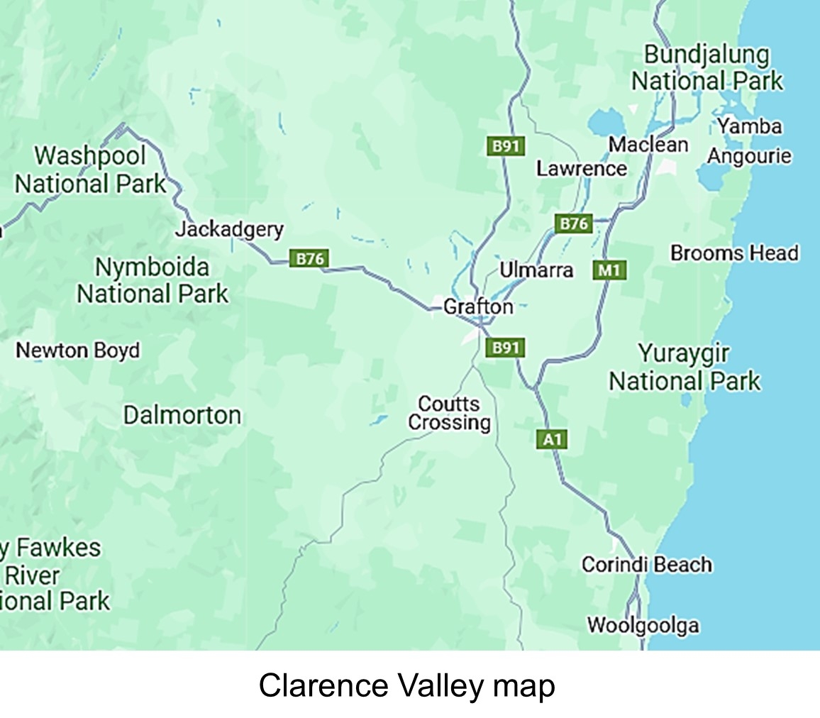
- Coutts Crossing NSW
Key features of the property are:
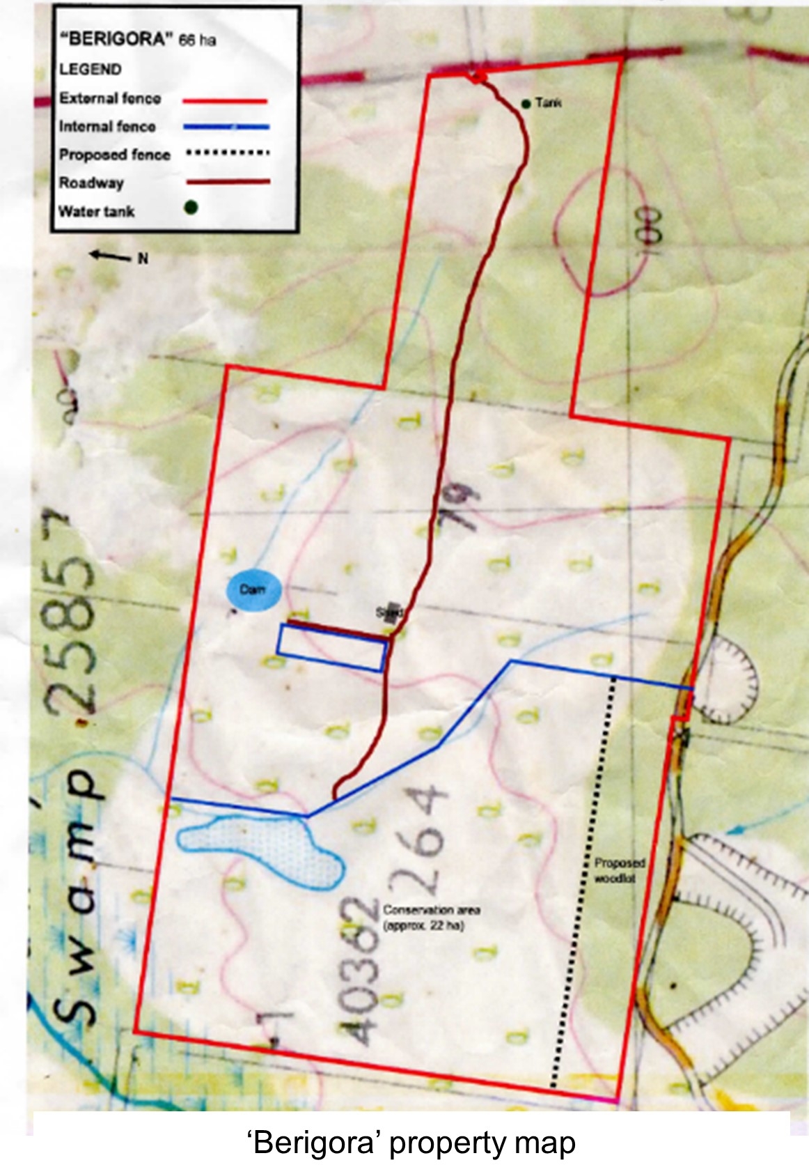
• 66 ha (166 acres)
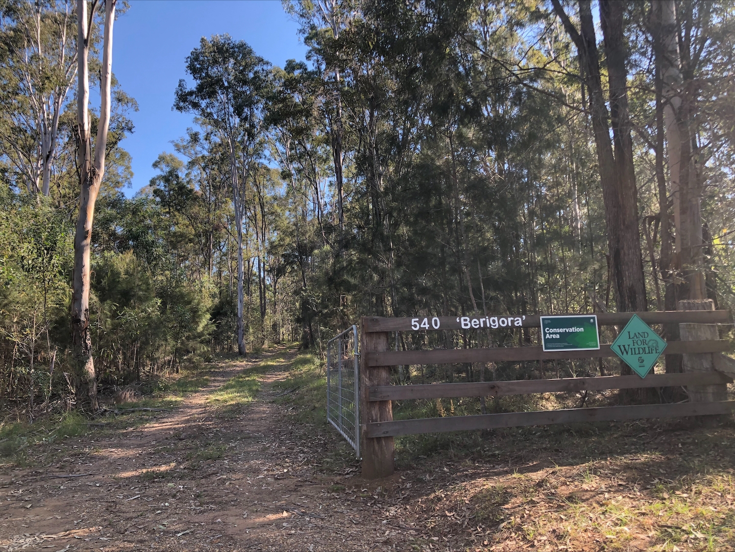
• Approx 22 ha (54 acres) under conservation agreement
• Conservation area established for 20 years
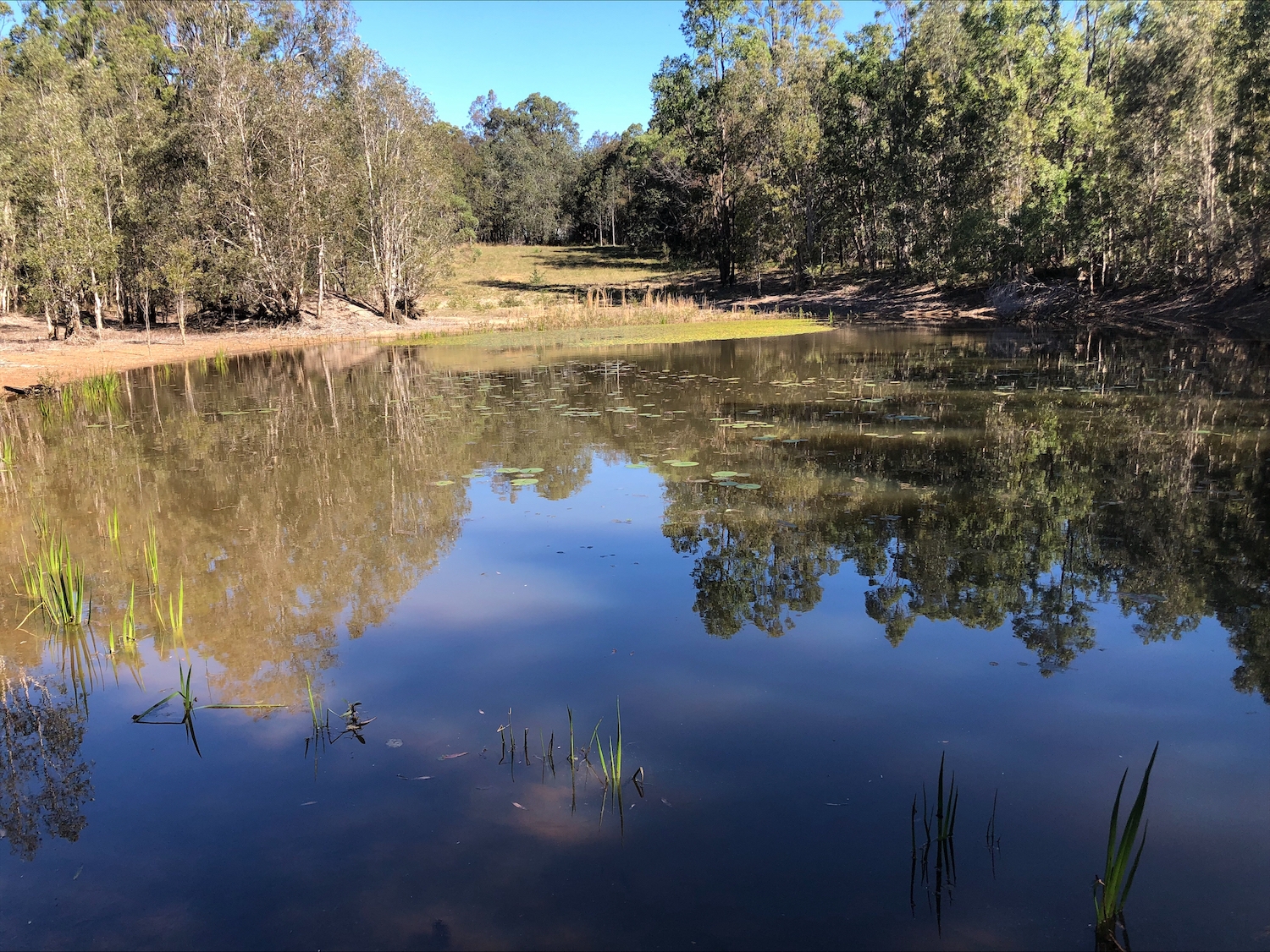
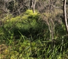
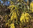
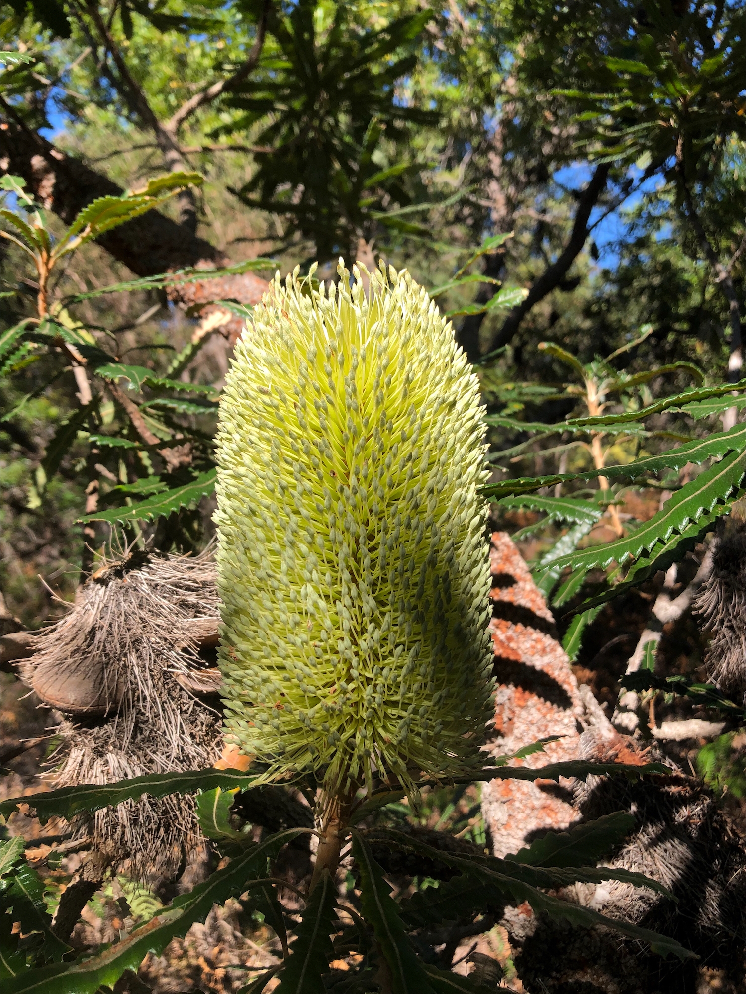
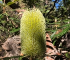
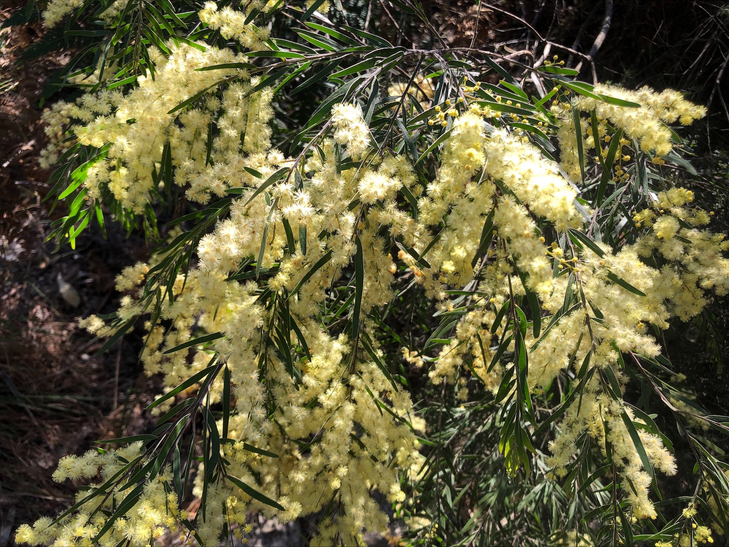
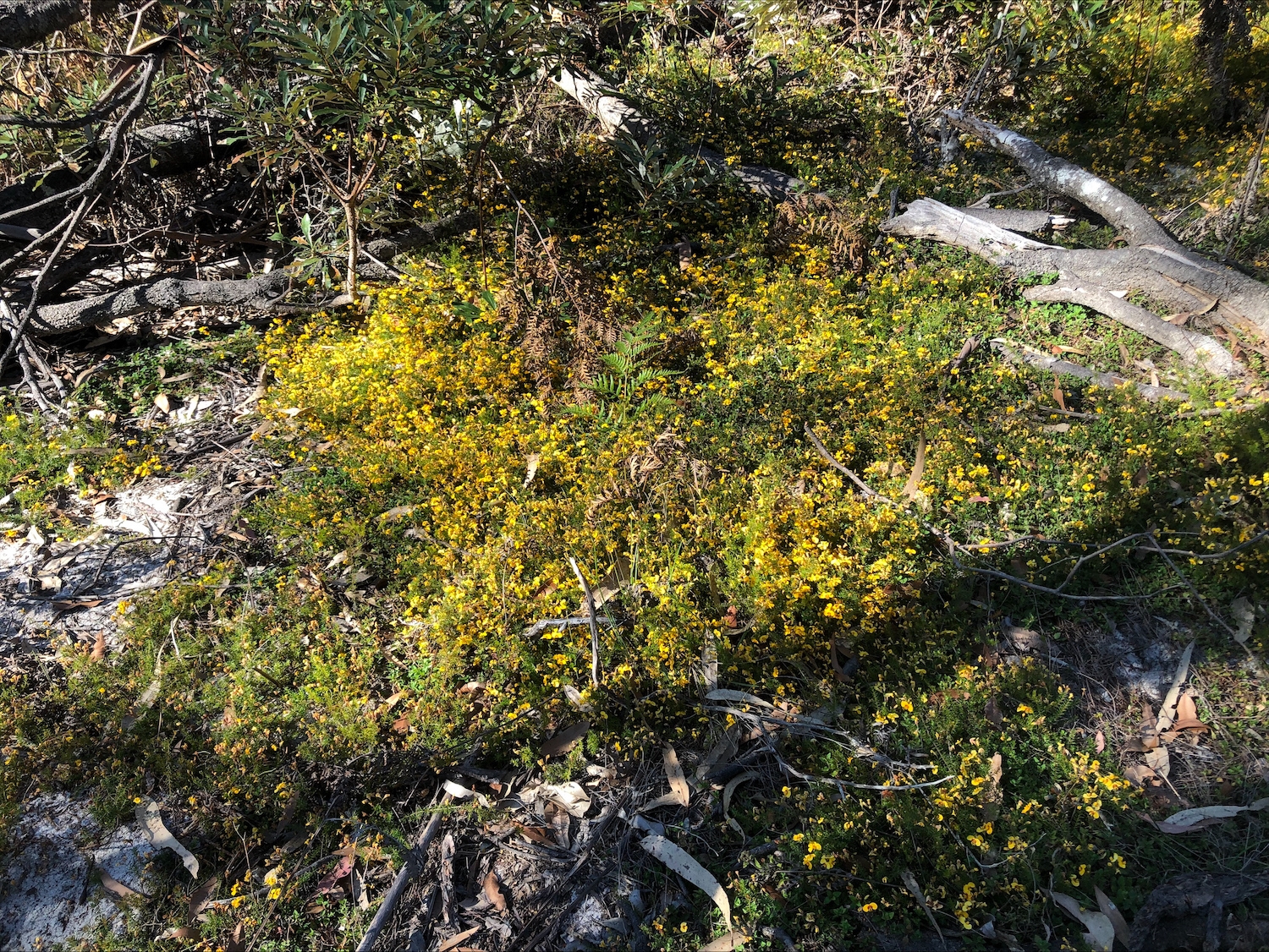
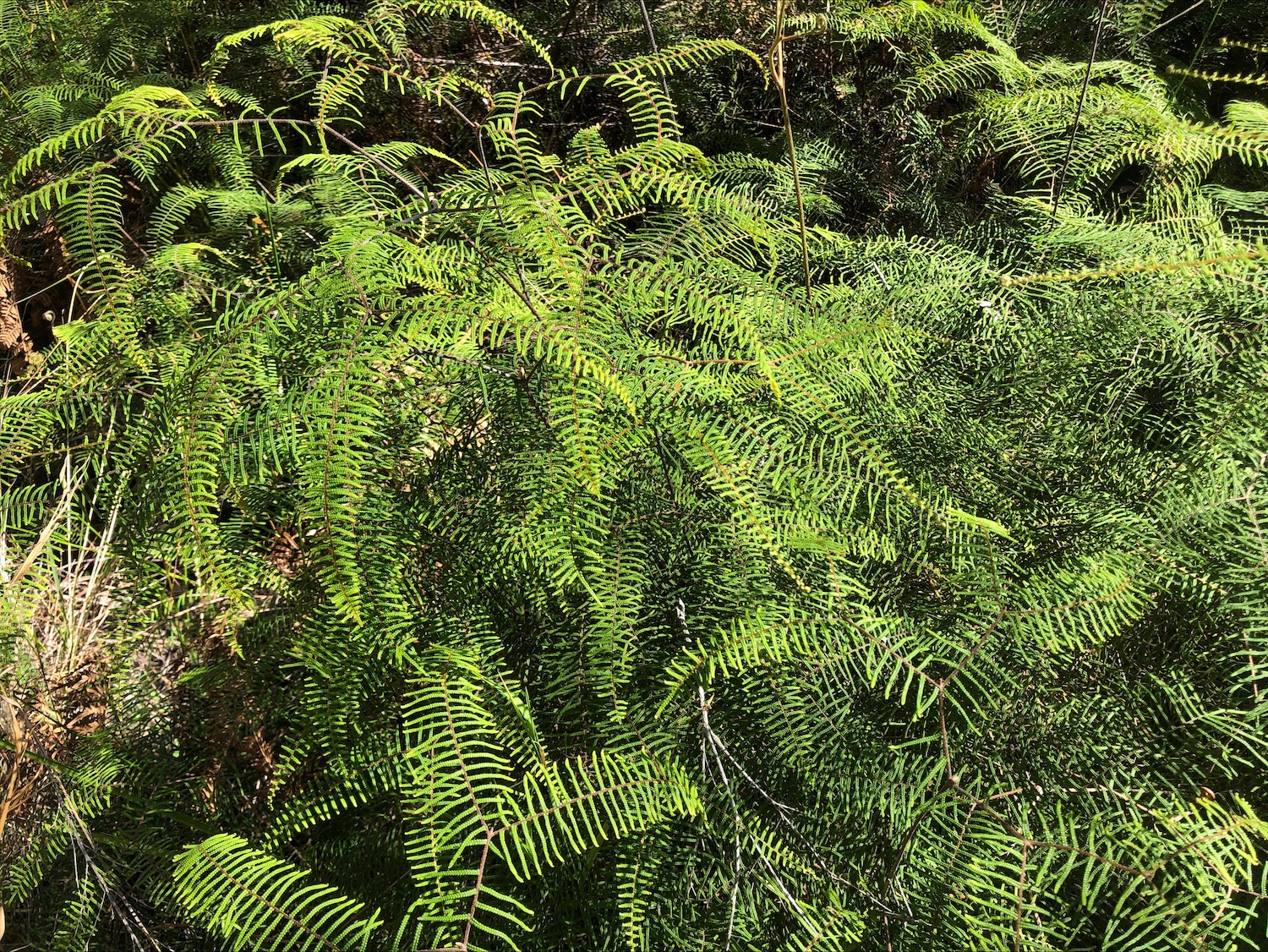
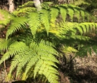
• Conservation area includes an ecologically important seasonal wetland
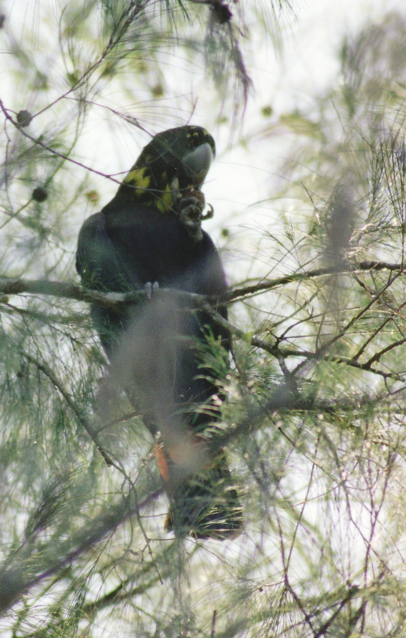
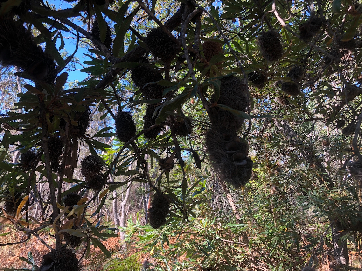
• Fauna survey whole of property (Russell Jago 2024 plus owner observations – 179 species catalogued)
• Species include endangered Koala and threatened Glossy Black Cockatoo &
Rufous Bettong
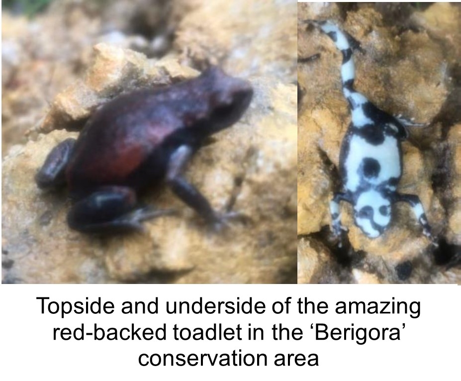
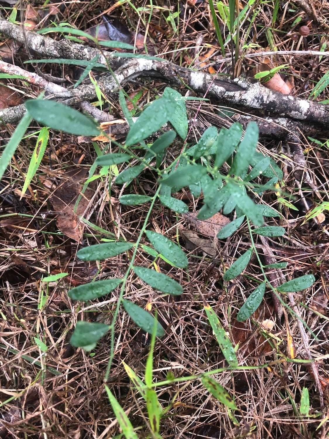
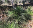
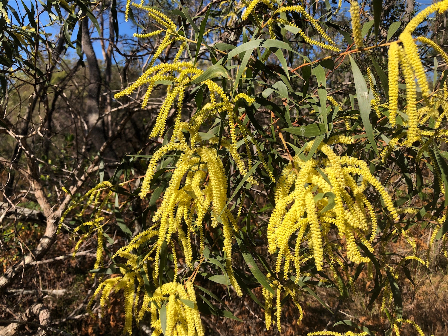
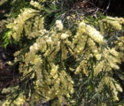
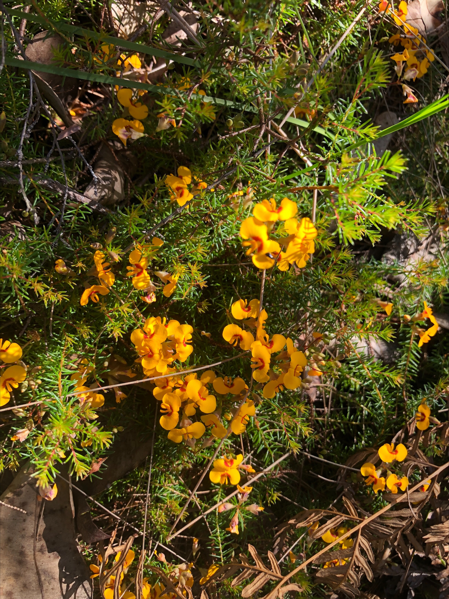
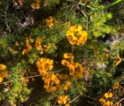
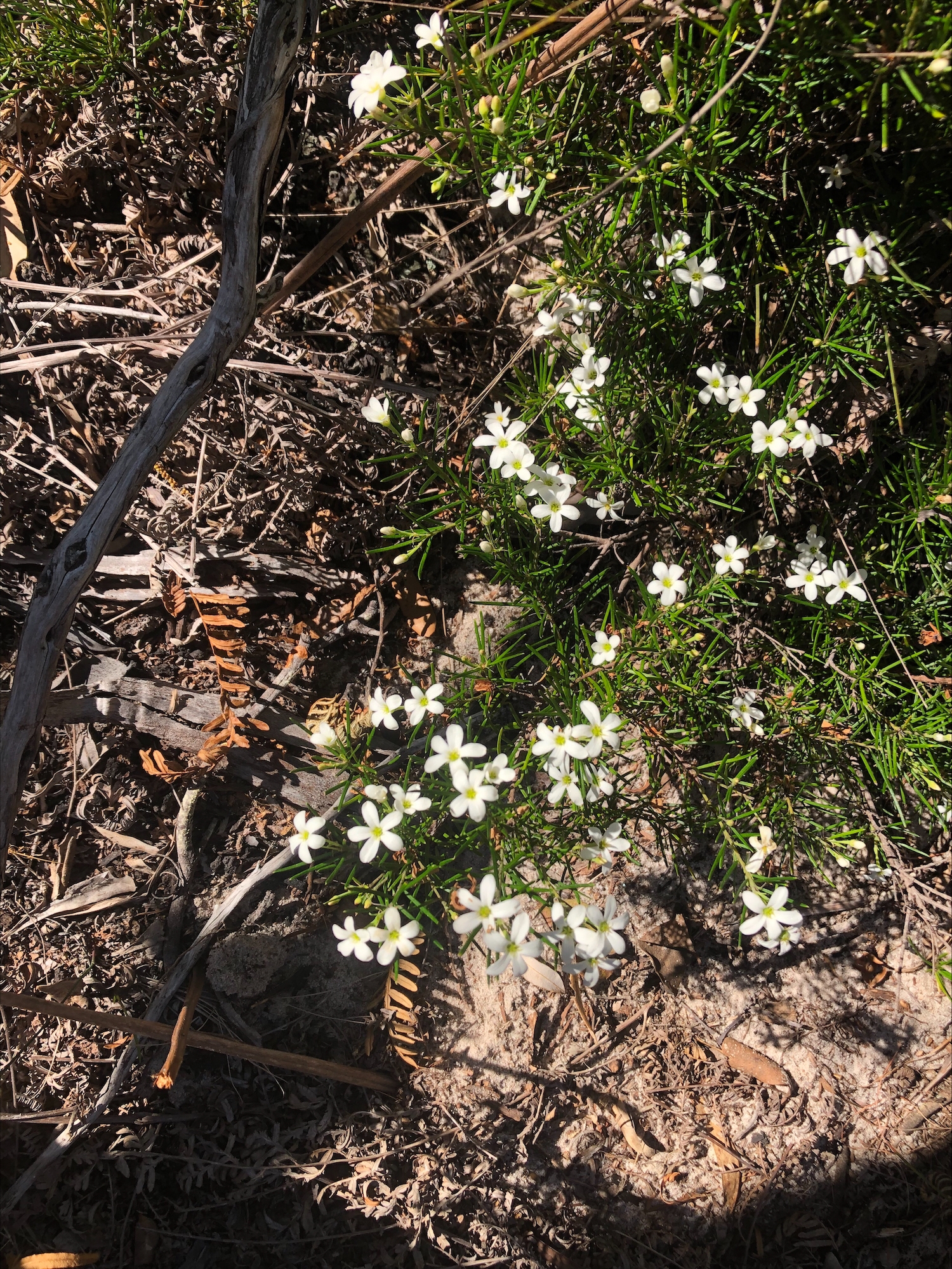
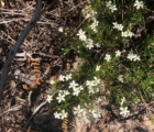
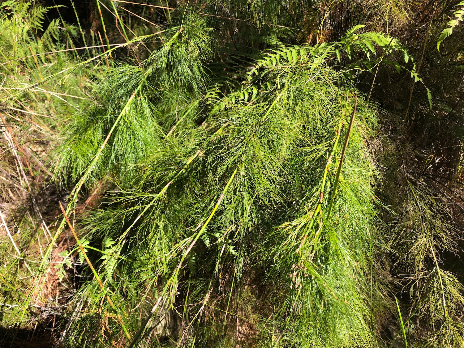
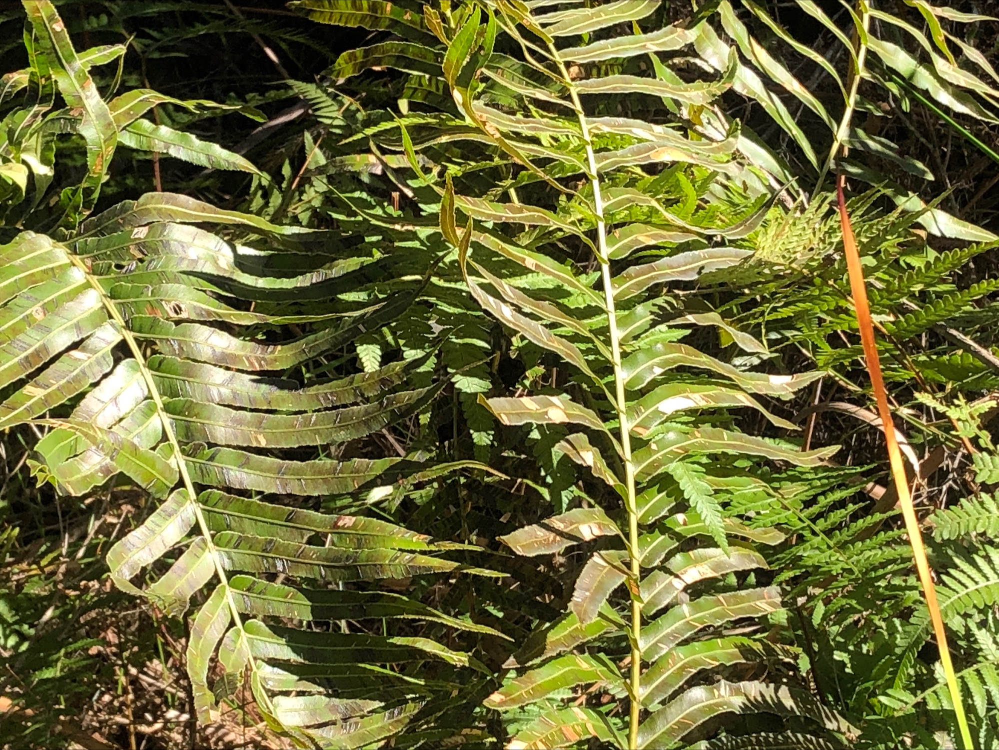
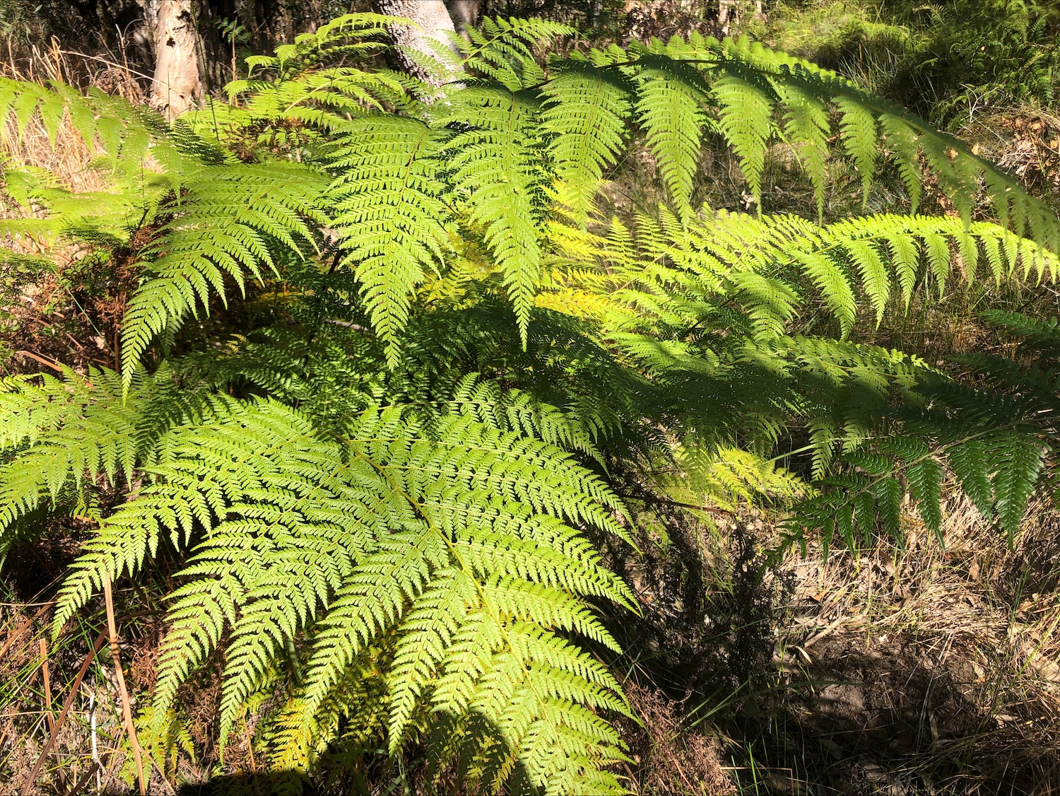
• Flora survey, whole of property (John Edwards 2022 – 193 species catalogued)
• Flora survey, conservation area (Greening Australia 2004 – 63 species catalogued)
. Flora surveys include several endangered species – see the
• Sealed road frontage
• School bus past front gate
• Town water
• Power to property
• Large 6500 ML council approved dam
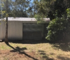
• 12 m x 6 m council approved fully enclosed lockable shed on concrete slab (with in-floor fittings to provide for future shower & toilet)
• Humes concrete water tank
• Fully fenced boundary
• Fenced conservation area
• No chemicals used on property for over 35 years
• 25 km to Grafton
• 5.5 km from centre of Coutts Crossing village
Coutts Crossing village (population 1,053) facilities:
• General store/fuel/post office
• Tavern
• Primary school
• Preschool
• Community hall
• Golf course
• Squash courts
• Tennis courts
• Football grounds
• Cricket grounds
• Croquet grounds
• Rural Fire Service centre
• State Emergency Service centre
History
It’s hard to believe that the property was once a small dairy farm in the early 1900s. It was later used for beef cattle grazing. All that remains of the history as a dairy farm is the rough stone floor of the old dairy. Two old cattle lick block stations remain in the conservation area as evidence of the property’s history of beef cattle grazing.
The property was vacant for 7 years until purchased by the current owners in 1994.
The area of the property outside the conservation area, all of which is part of the Land for Wildlife program, lends itself to small scale, intensive organic agriculture while still preserving the important Glossy Black Cockatoo habitat.
With the Glossy Black Cockatoo habitat outside the conservation area preserved, approximately one-third of the property, 22 ha, would remain available for keeping livestock such as horses, cattle, alpaca, farm stay cabins or for growing food and other/self-sufficiency and/or lifestyle interests.
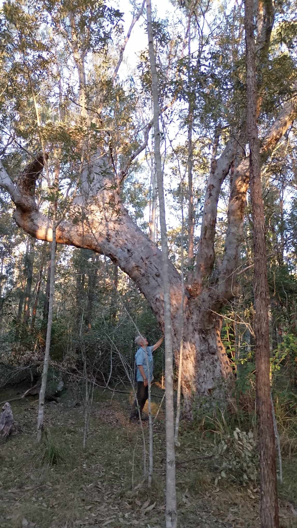
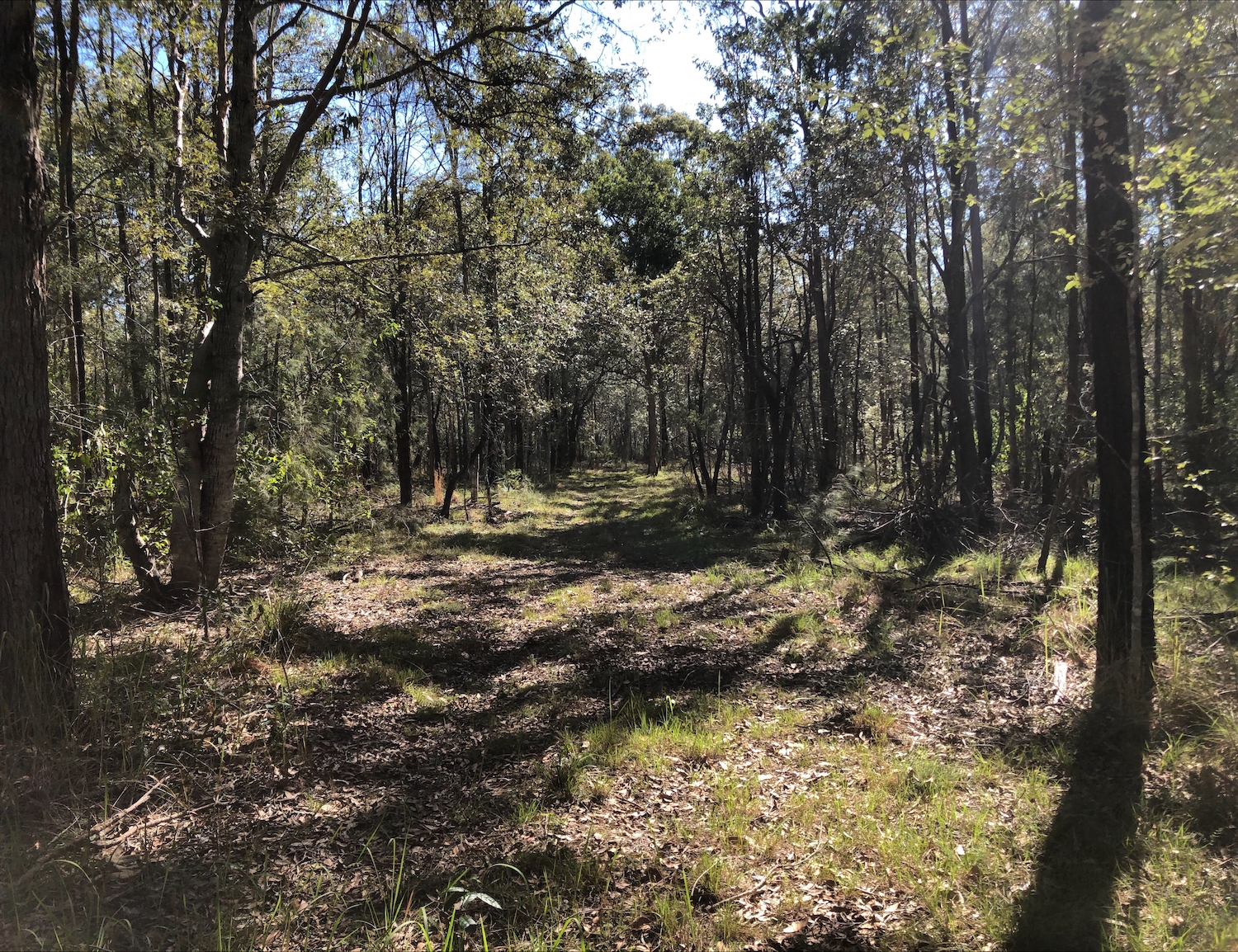
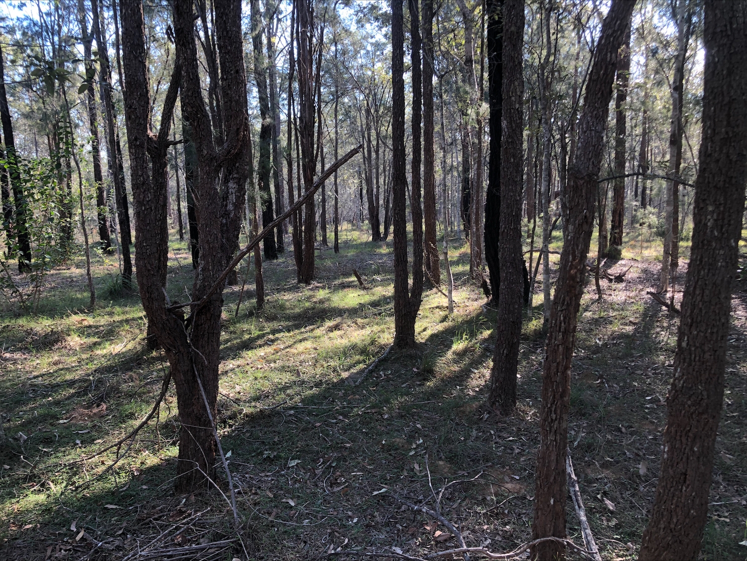
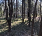
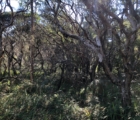
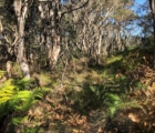
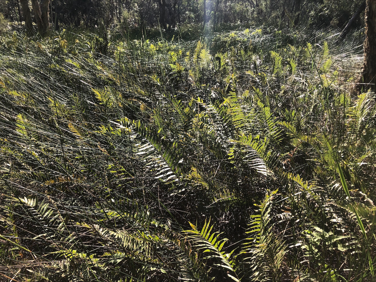
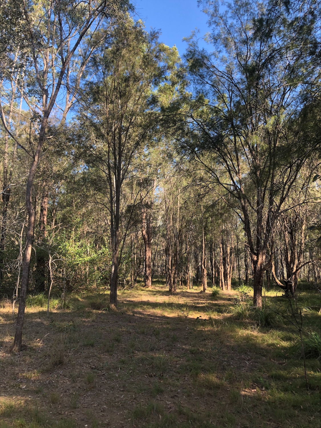
The property offers the perfect balance between wildlife conservation and relaxed rural lifestyle. ‘Berigora’ is a gently undulating property, with sandy clay loam soil at the front of the property, sandy loam in the middle section of the property and becoming flat and in parts almost pure sand in the conservation area which includes a stunning seasonal wetland.
This diversity in soil type supports a wide variety of vegetation and in turn a diverse population of fauna species, making it a unique property.
That this unique property is within the boundaries of Coutts Crossing village and only 25 km from the major regional city of Grafton is all the more remarkable.
There is a cleared house site overlooking the dam and a second cleared house site towards the front of the property plus there are a number of other potential house sites.
Coutts Crossing Village is known for its strong community spirit and with so many facilities and services available it is a great place for families to live.
Grafton
The first city on the NSW North Coast, Grafton is known for its wide tree lined streets and, of course, for its magnificent Jacaranda trees which are the highlight of the annual Jacaranda Festival – the oldest floral festival in Australia. Together with its beautiful trees, Grafton is associated with many outstanding historic buildings such as Christ Church Cathedral, Prentice House (part of the Regional Art Gallery complex), the unique Grafton Showground Pavilion known locally as “The Barn”, Schaeffer House Museum and many other beautiful public buildings and private dwellings
The city of Grafton (population 19,255) was established in the 1800s as a river port city initially for red cedar and later for beef cattle and other agricultural products. Grafton & South Grafton boast excellent shopping facilities with a wide variety of stores both big brands and smaller one-off stores. There are a number of excellent eateries, including restaurants, cafes, pubs and clubs. Cultural activities have an important place in Grafton and it is home to many talented artists and craftsmen/women producing a wide variety of arts and crafts. Grafton is also home to the Regional Art Gallery, the Music Conservatorium and a modern public library.
Sport has a strong following in Grafton with facilities for a wide variety of sports from the 195 km white water canoeing and kayaking trail; rowing; sailing; Grafton’s new aquatic centre currently under construction; cycling, plus numerous sporting fields catering for football, hockey, cricket, basketball, netball, athletics, equestrian pursuits; horse racing; greyhound racing; and a huge range of other sporting activities. The city has a number of primary schools; 5 high schools (a mix of public and private); a TAFE College, and a Country Universities Centre (CUC) offering a learning and study space for regional university students.
Grafton also has a centrally located base hospital, and is only 1 hour from Coffs Harbour airport; 1 hour 35 minutes from Ballina airport and 2 hours 45 minutes from the Gold Coast and Gold Coast International Airport. Clarence Valley
The mighty Clarence River is the heart of the Clarence Valley. The Clarence Valley remains an important agricultural centre and is also home to the Department of Primary Industries Institute, an important agricultural research facility.
Other important towns in the Clarence Valley are the river towns of Ulmarra and Maclean and the popular beachside town of Yamba. It is said the Clarence Valley has the most diverse range of fauna and flora in Australia second only to the Daintree region due to an overlap of ecological systems in the area.
The Clarence Valley has a number of national parks in close proximity: Yuraygir (which hugs the coastline and includes a 65 km walking track); Washpool National Park and World Heritage Wilderness Area with extensive walking tracks; Nymboi-Binderay (popular with kayakers & white water rafters); Mount Pikapene; Ramornie; and Chaelundi.
Plant lists, Surveys, Wildlife lists are available on request. Please submit property inquiry form to receive all followup details and request lists.
Property Features
- Land is 66 hectare
- Road Map